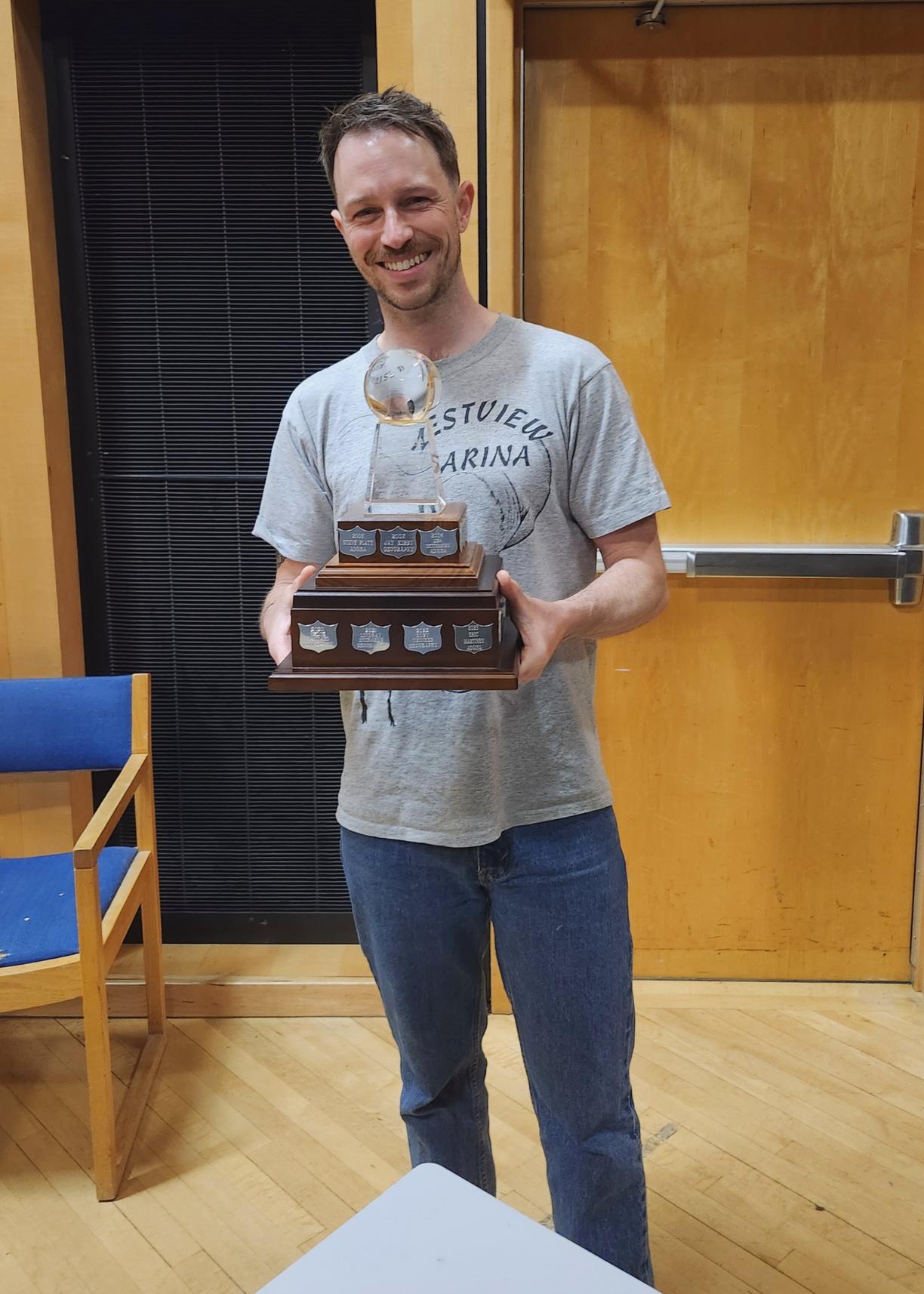
Sean Parsons

I'm currently enrolled in the GIS Diploma program at VIU, and my practicum project focuses on investigating the correlation between increasing snowmobiling activity and the disappearance of local caribou in Atlin, BC. This study is of particular significance as it addresses the concerns expressed by the Taku River Tlingit First Nation regarding the decline of Northern Mountain Caribou (Watsíx) on their traditional lands.
To analyze snowmobiling activity, I utilized aerial survey data collected by the first nation land guardians from a fixed-wing plane. Specifically, I selected data from the last two years to capture recent trends in activity intensity. Using ArcGIS Pro, I generated kernel density heat maps to visualize snowmobiling hotspots within the study area. Interestingly, snowmobiling intensity has slightly decreased over the last two years. During the COVID lockdown, snowmobiling in the area boomed in popularity. I heard stories of how snowmobiles were sold out in the nearest city of Whitehorse during the COVID lockdown. This likely explains the counter-intuitive results of the map.
In designing the map, I opted for an orthographic basemap to accurately depict the terrain preferred by snowmobilers. This choice allows for the identification of areas with high elevation and steep slopes, which are less conducive to snowmobiling. Additionally, I employed a side-by-side comparison approach to facilitate the visual assessment of activity intensity over time. The vignette effect was incorporated to draw attention to the study area and emphasize its terrain features.
The concerns raised by the Taku River Tlingit First Nation resonate with me deeply, driving my interest in this project. While I visited Atlin, an elder told me about how their grandparent would see the frozen Atlin Lake move and shift because of the sheer number of caribou on it. Unfortunately, these days it’s uncommon to see any caribou on the lake. This conversation was eye-opening and gave incredible context to my GIS work.
In conclusion, this project not only sheds light on the potential impacts of snowmobiling on caribou habitat but also underscores the importance of collaborative conservation efforts. By providing actionable insights, it contributes to the broader conversation surrounding sustainable land management practices in Northwestern BC.

