Emma Morrison-Turley
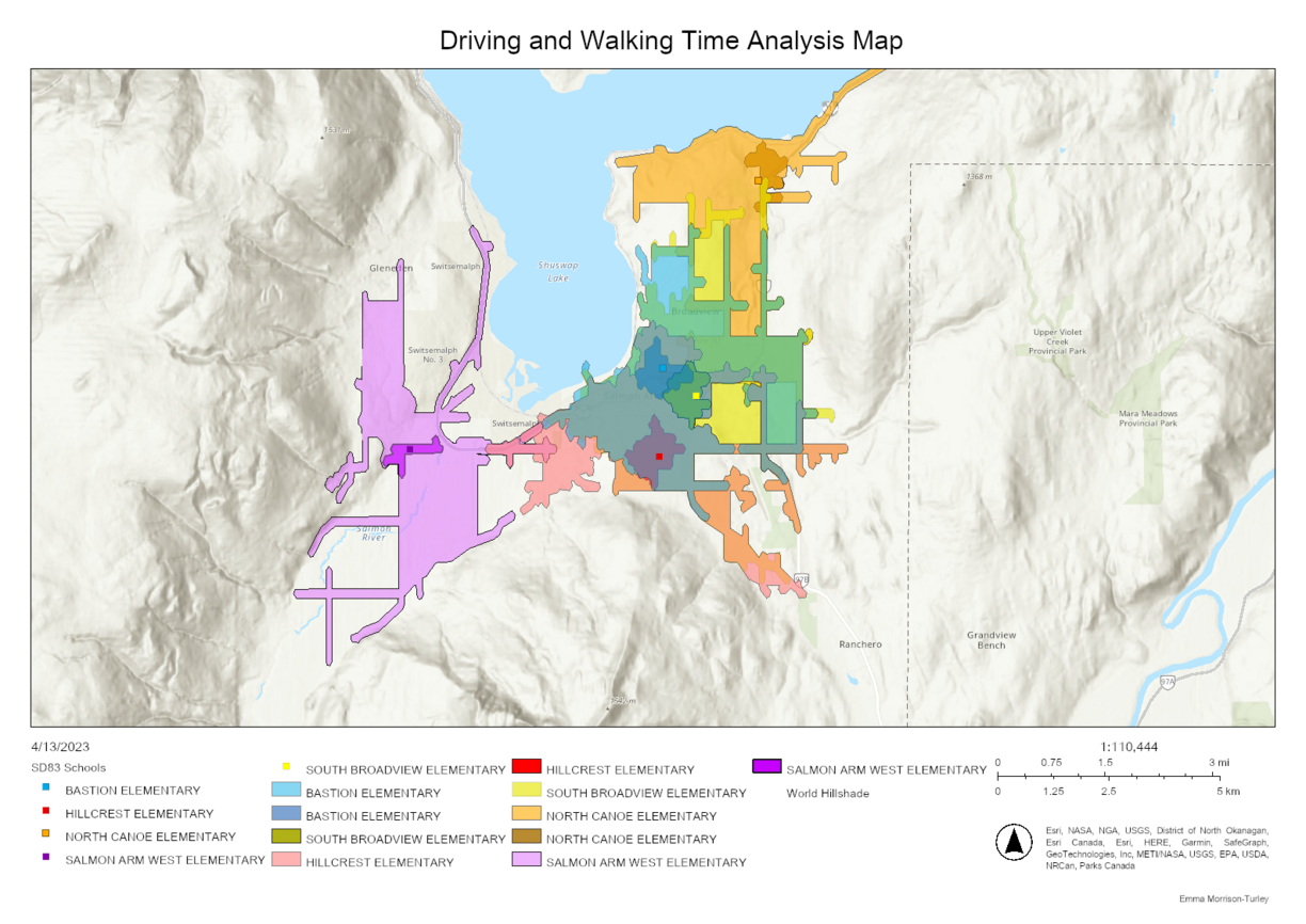
This map was created as part of my GEOG 428: GIScience Applications course. It examines a walking and driving time analysis of existing elementary schools in Salmon Arm BC. I wanted to see how much area was encompassed by a 10-minute walk and a 5-minute drive for each school. This was to help locate where I thought they should put a new elementary school! The analysis run was both a walking time and driving time analysis for each school separated out through the filter function. Hopefully, this map and the whole project will be given to the school district to suggest a new downtown elementary school.
This year we had several applications of both static and dynamic maps. To reflect this evolving area in Cartography, the judges have decided that, going forward, the Carto Cup will have two categories of entries, dynamic web-based maps and conventional static maps. Emma is our 2023 winner in the dynamic map category. Congratulations on winning Emma! Follow the link to interact with Emma's map: Driving and Walking Time Analysis Map

